

In light of new Covid numbers and new Provincial restrictions regarding outdoor gatherings we have decided to make the UKR Ocup a Virtual Event. As you may know this means participants will be using the MAPRUN6 app on their phones to keep track of the check point punches. You will need a smartphone or GPS watch to punch each control. See instructions below on how to use Maprun6.
Here is how it works:
- Send a signed waiver to [email protected]
- Once we receive your signed waiver, before race day you will receive the maps in PDF format and the course notes
- Download the MapRun6 application (Android or iOS)
- Click “Select Event” and go to folder Canada > Ontario > Toronto > 2022 > UKR Ocup
- Choose one of the two courses to run.
- Go to the park and when you are near the start location click on “Go to Start”.
The app will ‘punch’ the start automatically and the timer will begin.
You will hear a beep at each control as you go through the course. Continue to the finish and you will be able to see how you did by clicking “Show Results”
** If you do not hear the beep or see the control register us the "Scan for QR" button at the bottom of the screen to scan the QR Code attached to the control flag to manually punch.**
| Results | |
| Documents | |
| Start time | Saturday, February 12th, 12:01 a.m. |
| Organizers |
Meet directors: Eugene Mlynczyk Course setters: Eugene Mlynczyk |
| Directions |
|
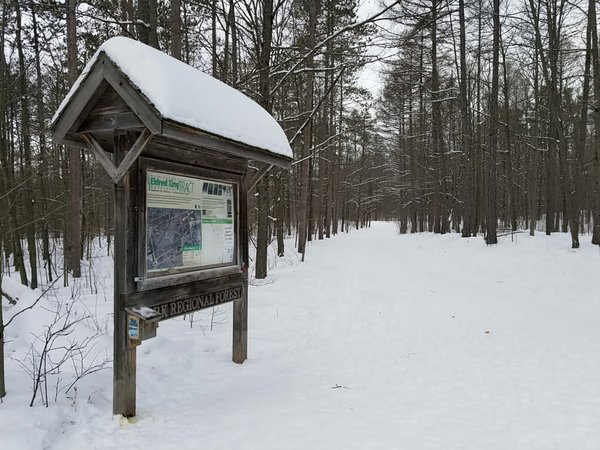
| Location |
Eldred King
|
| Map |
Scale: 1:10000 Contour Interval: 5m |